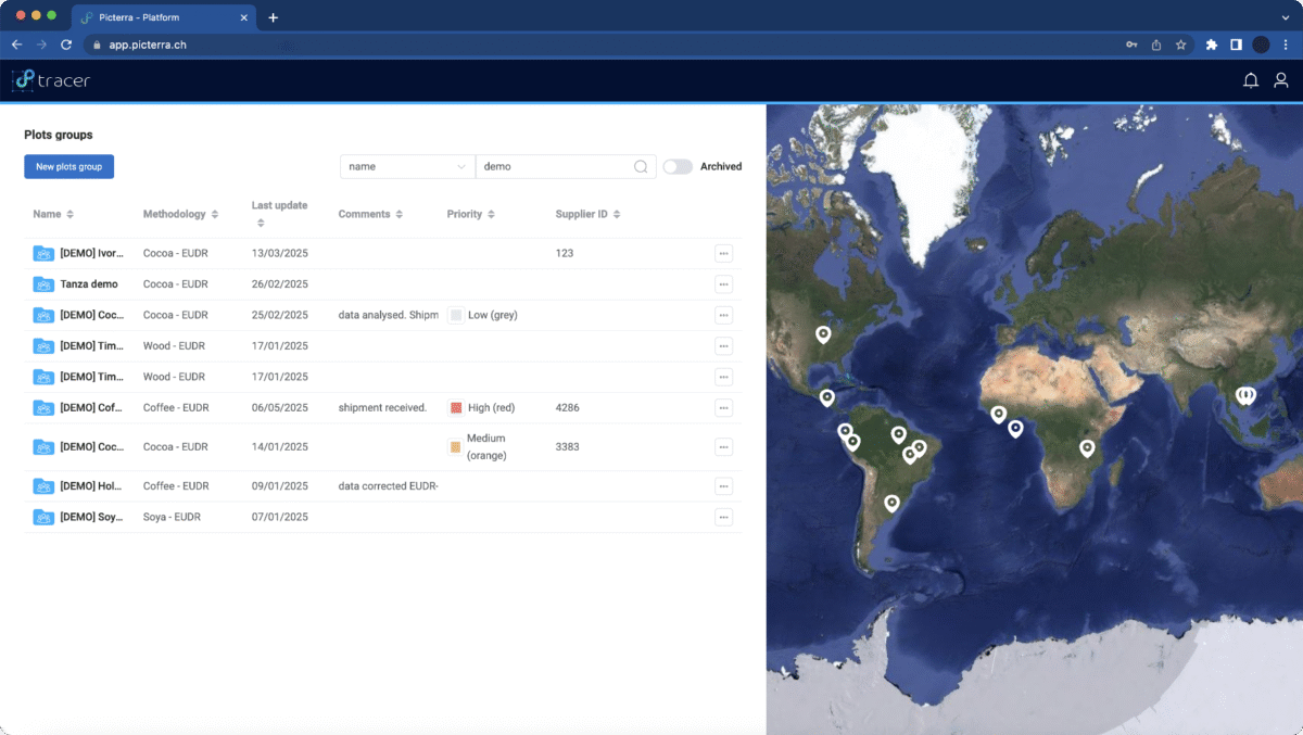
Picterra Tracer Overview
How it works
Picterra Tracer helps businesses validate, analyze, and monitor land plots for compliance, sustainability, and supply chain traceability. Here’s how it works:
Data Ingestion & Verification
Import geospatial plot data
Automatically verify and correct plot data to ensure accuracy.
Automatically verify and correct plot data to ensure accuracy.
Plot Mapping & Analysis
Mapping plot boundaries
Detect land-use changes, deforestation risks, and verify carbon credits.
Ensure compliance with regulations like the European Union Deforestation Regulation (EUDR).
Detect land-use changes, deforestation risks, and verify carbon credits.
Ensure compliance with regulations like the European Union Deforestation Regulation (EUDR).
Visualization & Reporting
Act and share your analysis results.
Gather additional information using high-resolution imagery
Generate reports and compliance statements in EUDR-ready formats.
Gather additional information using high-resolution imagery
Generate reports and compliance statements in EUDR-ready formats.
Seamless API Integration
Modular API allows integration with existing traceability and ERP systems.
By streamlining plot analysis and compliance verification, Picterra Tracer ensures regulatory compliance and sustainability with greater efficiency.
8 simple steps
- Create a Plot Group
- Import plot data
- Visualise plots and data quality
- Analyse selected plots
- Visualize results
- Create a report
- Share results
- Download reports