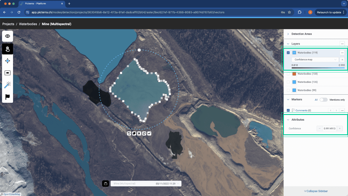
Attribute visualisation & Detection confidence
We previously released per polygon attributes for your results, we now extend this by adding a new attribute and attribute…
Key capabilities
We previously released per polygon attributes for your results, we now extend this by adding a new attribute and attribute…
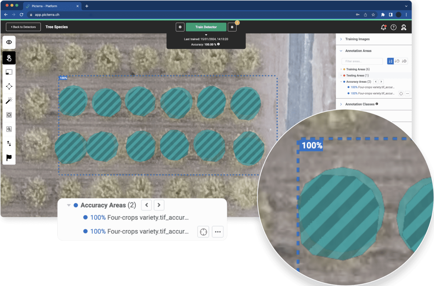
Per-accuracy area scoring is a feature that enhances the way users can assess the performance of their geospatial data detectors.
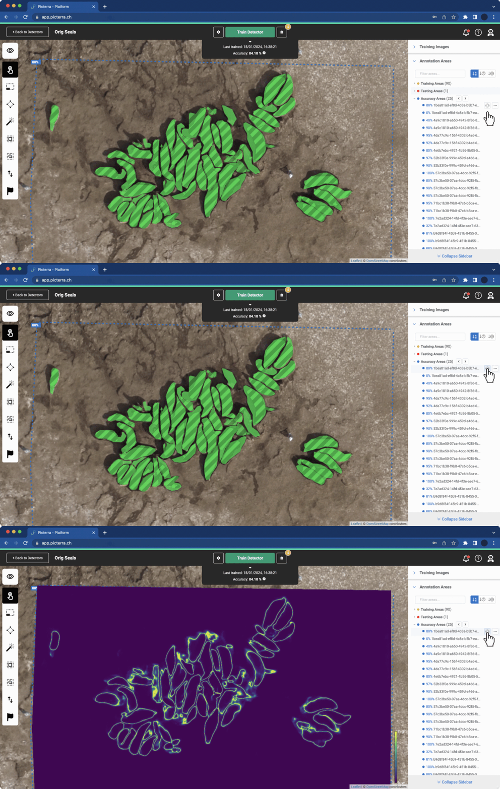
The implementation of confidence maps is now available for accuracy areas. This feature provides users with an overlay on images…
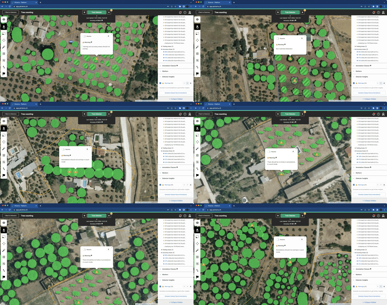
This update extends and enhances the previously released localized warnings. This new functionality is designed to provide users with specific…
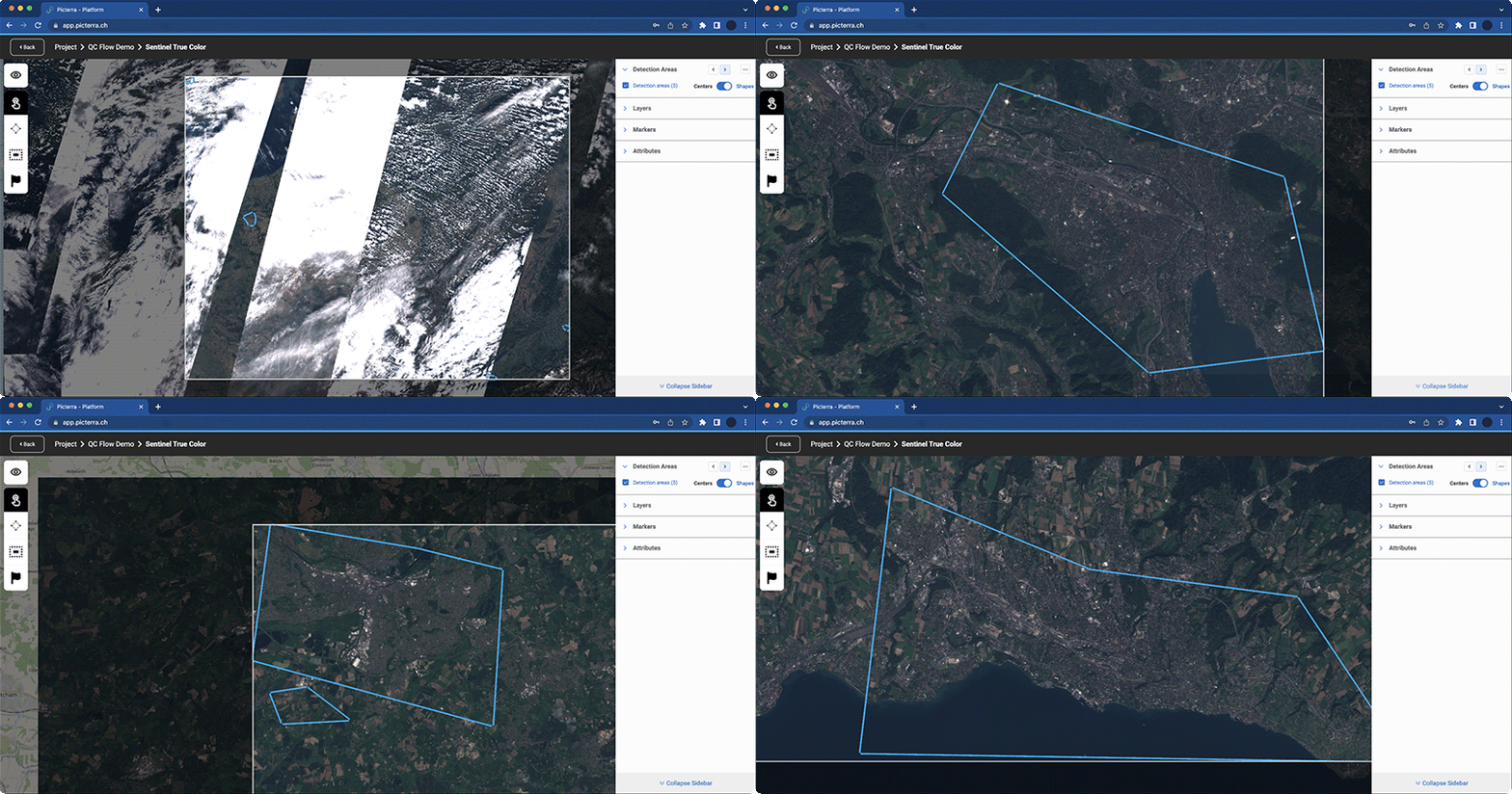
Navigate through existing detection areas, simplifying the inspection of results at scale and making direct edits as needed. Introducing the…
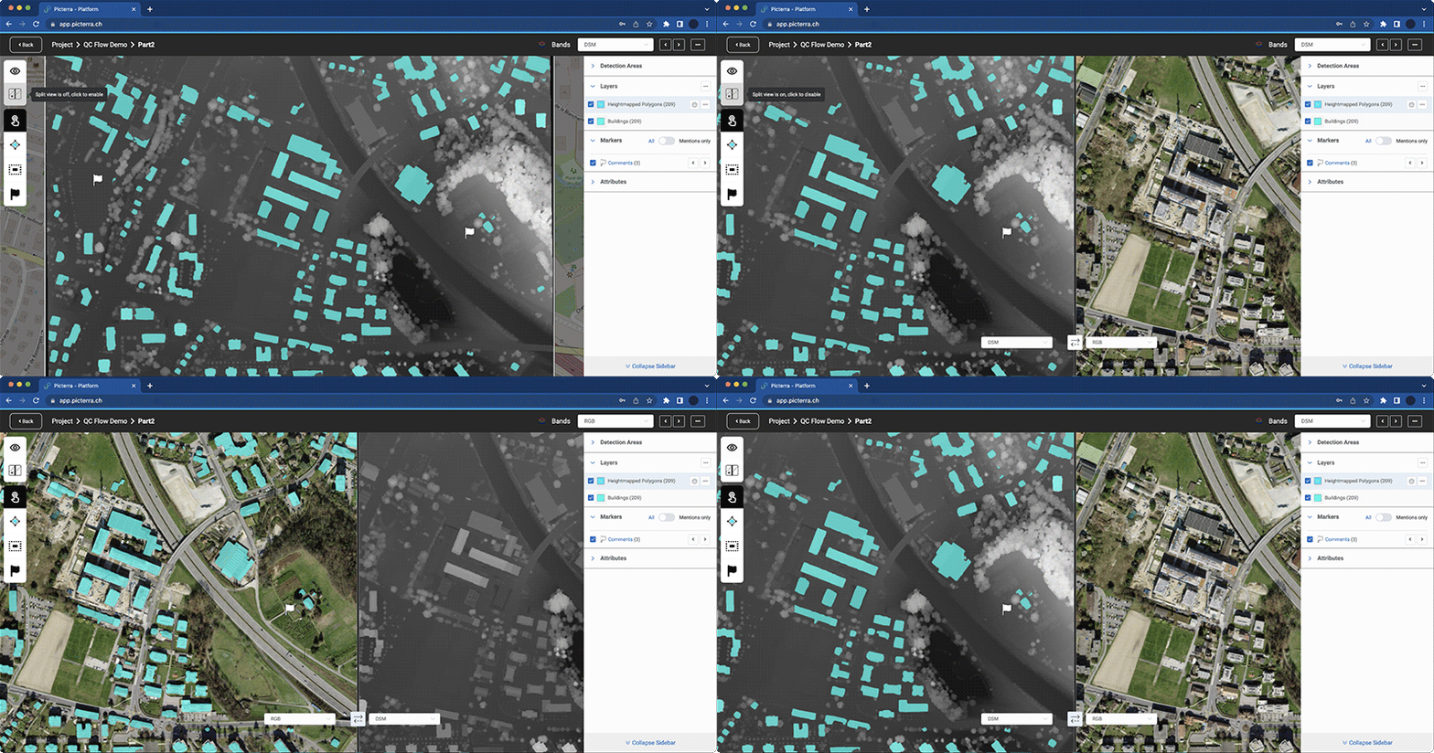
Effortlessly visualize different band setups within an image. Toggle between bands more efficiently, and compare two band settings side-by-side, such as…
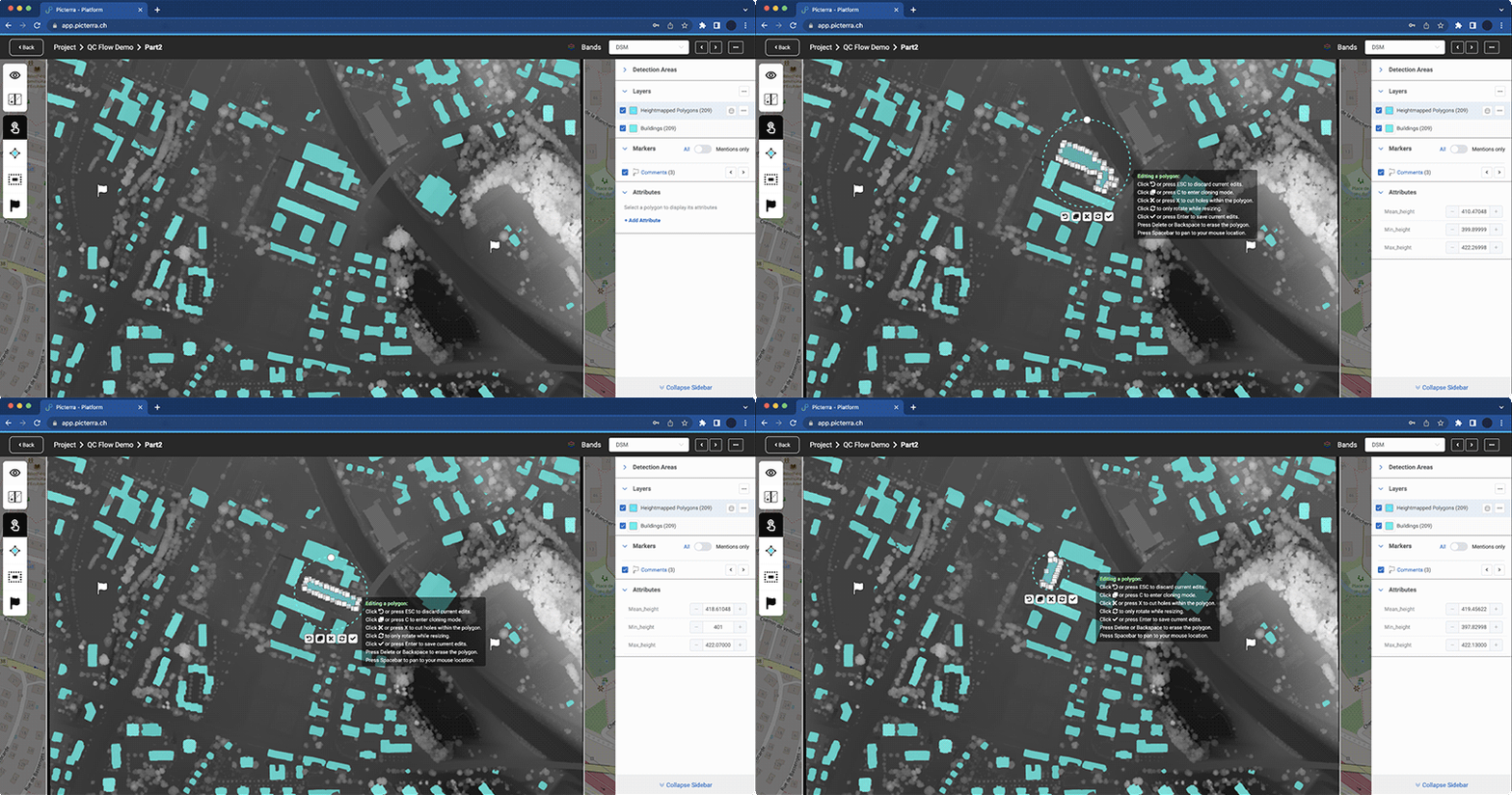
Now, the results from Picterra’s advanced GIS tools (such as “DSM height extraction”) can be visualized directly within the Picterra…
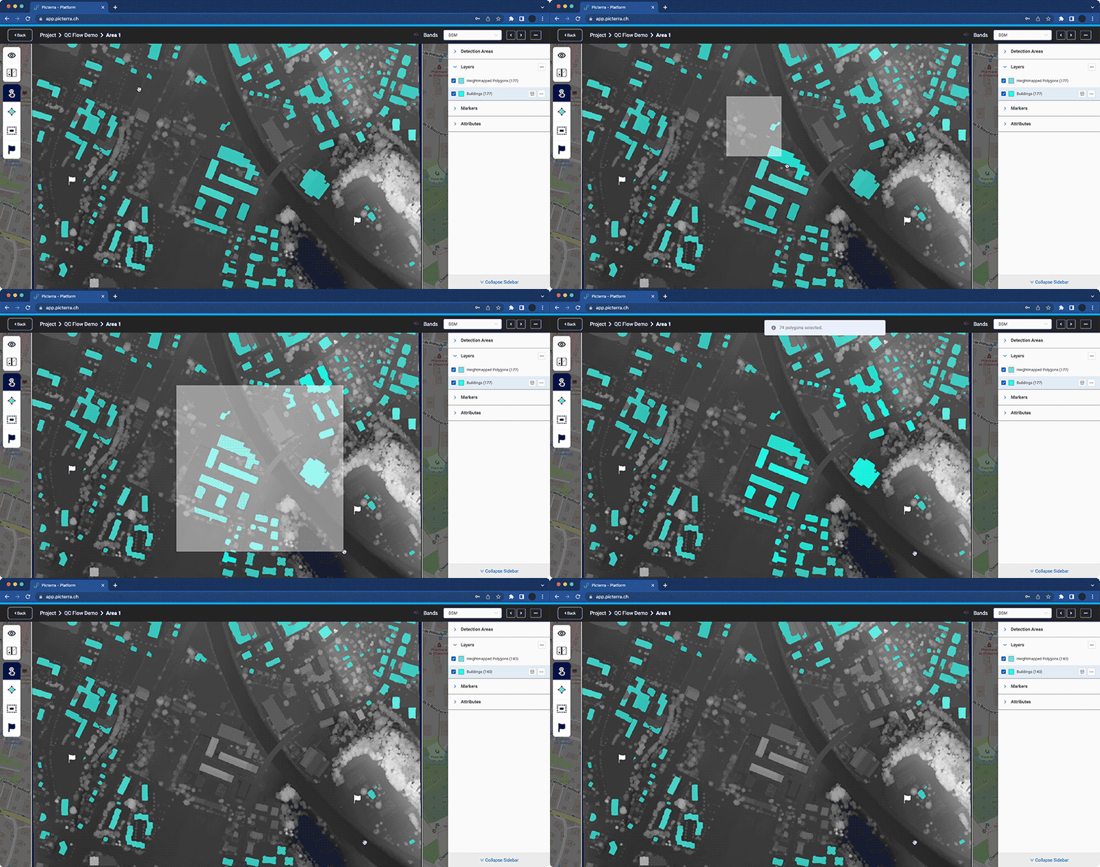
Introducing mouse-based mass selection, Supports mass delete functions and facilitates detection editing.
We are excited to announce the integration of Meta AI’s Segment Anything Model (SAM) into Picterra making the production of…
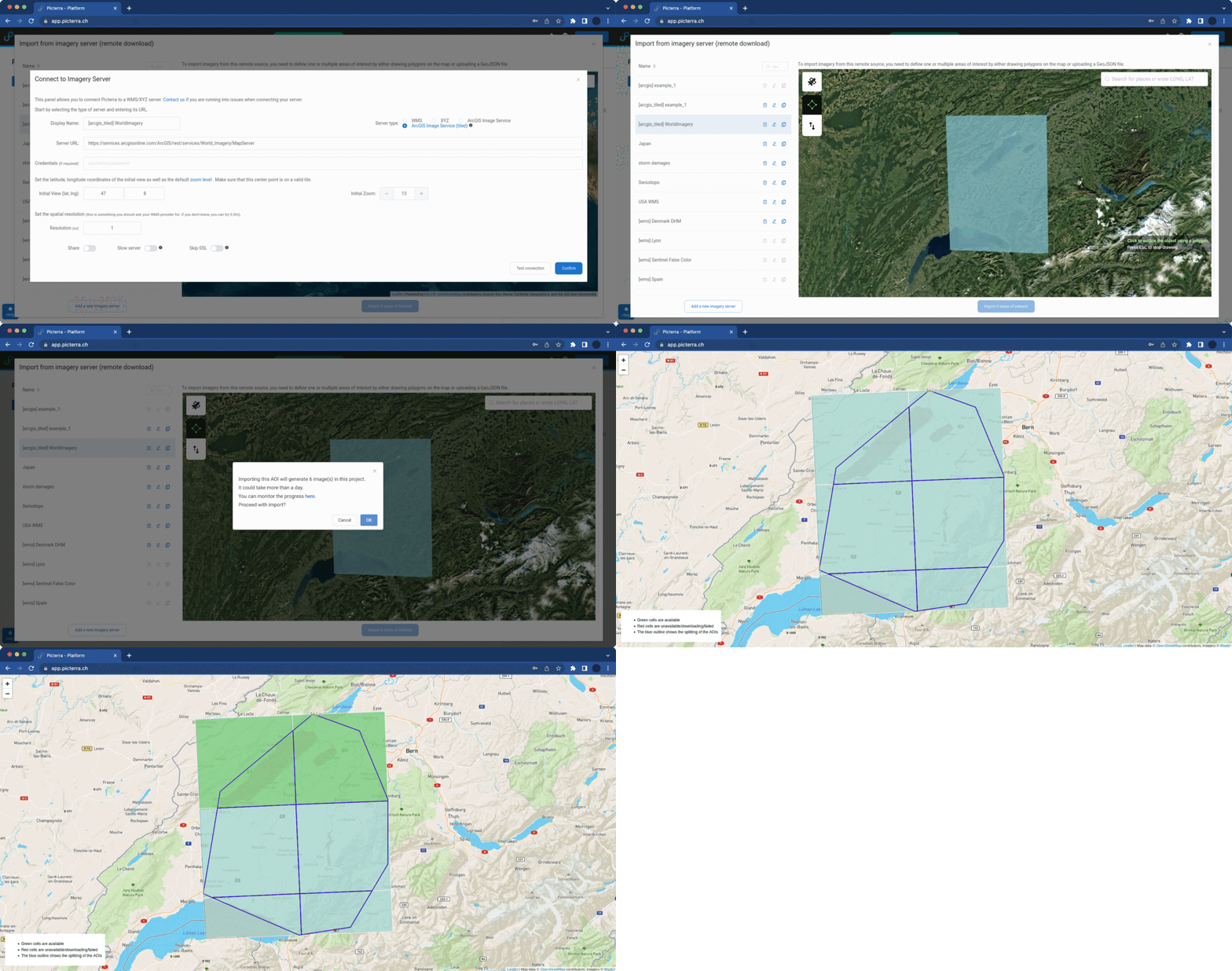
We are excited to announce the expansion of Picterra’s range of supported imagery servers to include Esri’s ArcGIS Image Server! Available…
Features on the Picterra platform have different levels of maturity. This page goes over the various levels and what can be expected in terms of support and stability.
Stage | Description | Guarantees |
Alpha
|
|
|
Beta
|
|
|
General availability
|
|
|
End-of-life
|
|
|